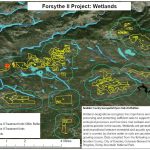
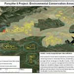
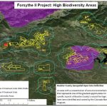
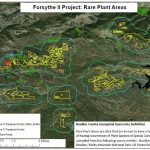
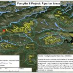
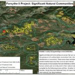
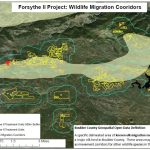
These maps were created by the Colorado Forest Restoration Institute on behalf of the Forsythe II Multiparty Monitoring Group using spatial files from the Boulder County Geospatial Open Data source. Data was compiled from multiple sources in many cases, and the time or data collection methods are unknown.

